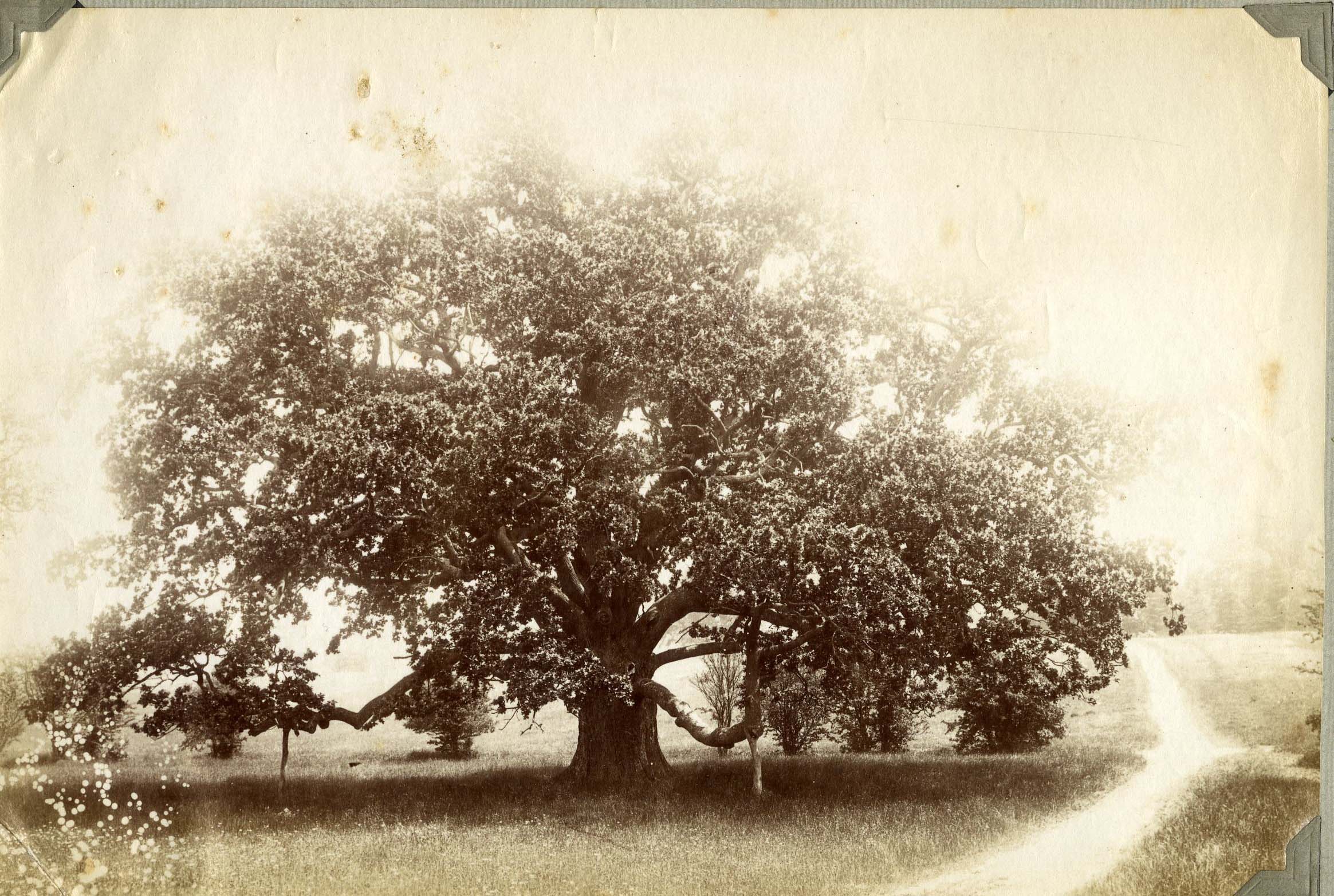
Capability Brown’s most distinctive work in any landscape was the creation of a lake. This was remarkably cheap to achieve, if the land was already marshy and fed by streams. There are very few natural lakes in England, so Brown’s creation of so many lakes brought a new dimension to the landscape. In some places, such as Nuneham Courtnay just across the River Thames from Radley, he used the river itself to create the appearance of a lake when seen from the house.
At Radley, a body of water (identified by Rocque’s use of ichnographia) appears to the left of the house, and south of the path of the avenue from Cheesers. No stream is marked on the map. The water has the formal shape associated with early 18th century landscape gardens.>>>Rocque’s Map of Berkshire, 1761>>>

Rocque’s map, 1761. Detail
The 1830 OS map does not show a lake. It does show a deeply cut stream following the line of the brook now called Kishon, intersecting with the path from Cheesers from the north.
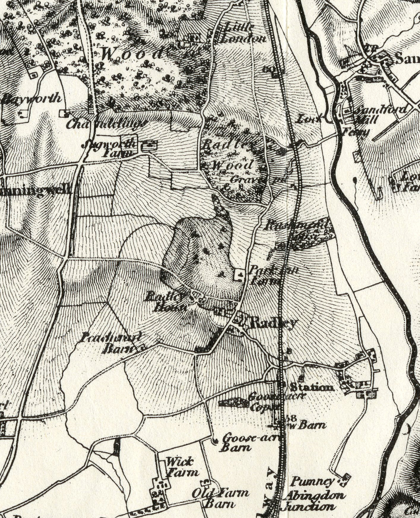
1st edn OS Berkshire & Oxfordshire 1830
The 1849 tithe map shows a re-designed College Pond. The stream follows the same line as the 1830 OS map, crossing the path from Cheesers by a small bridge (or possibly a culvert). There is no outfall stream to the south of the pond.
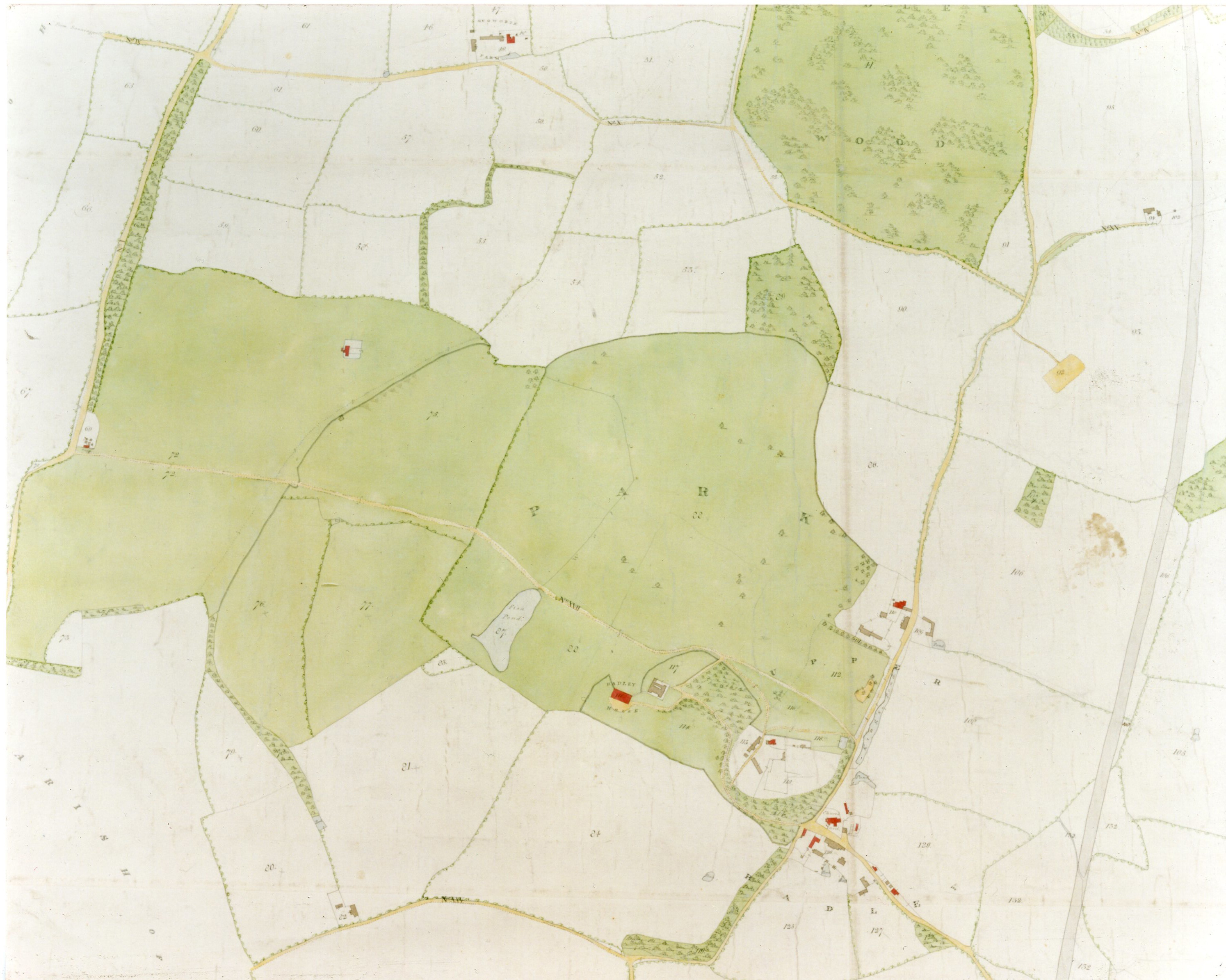
Tithe map, 1849. © Radley College
In 1999, Roger Turner’s gazeteer of Capability Brown landscapes described the lake at Radley as ‘probably not by Brown.’ However, there is no evidence of any other time at which the lake was remodelled between 1773 and 1842 – a period in which the park and house had become separated and the park used primarily for agriculture. The lake retains some of the formal shape visible on Rocque’s map but now with a ‘naturalistic’, serpentining to the edges.
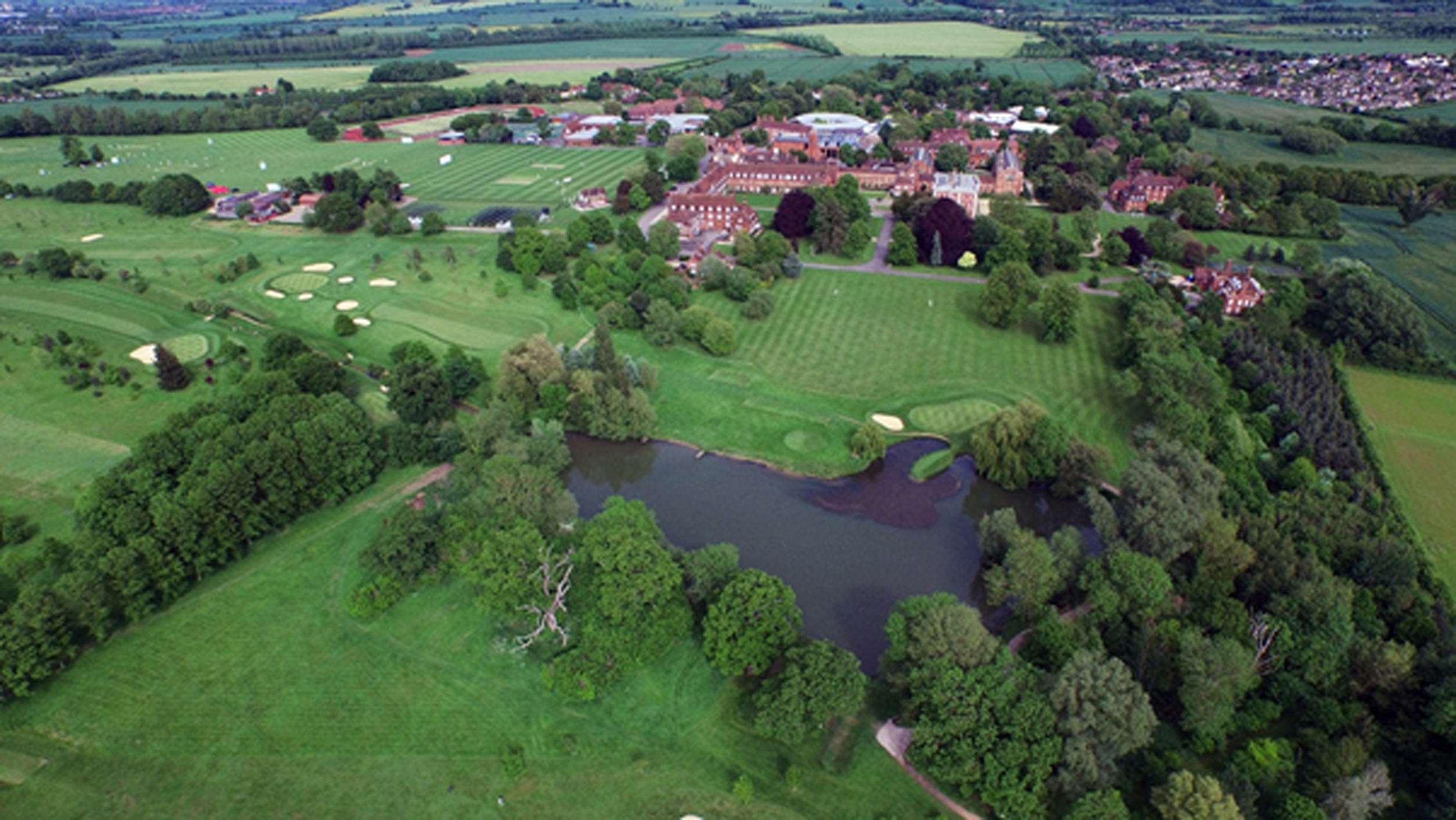
Aerial view 2015. © Radley College
Survey in 2016 shows there is also an island, the remains of a sluice, and a possible small cascade leading to a lower pond now lost in the wood to the south of College Pond. It seems most likely that the lake in this form was the work of Capability Brown, and that he re-modelled an earlier feature.
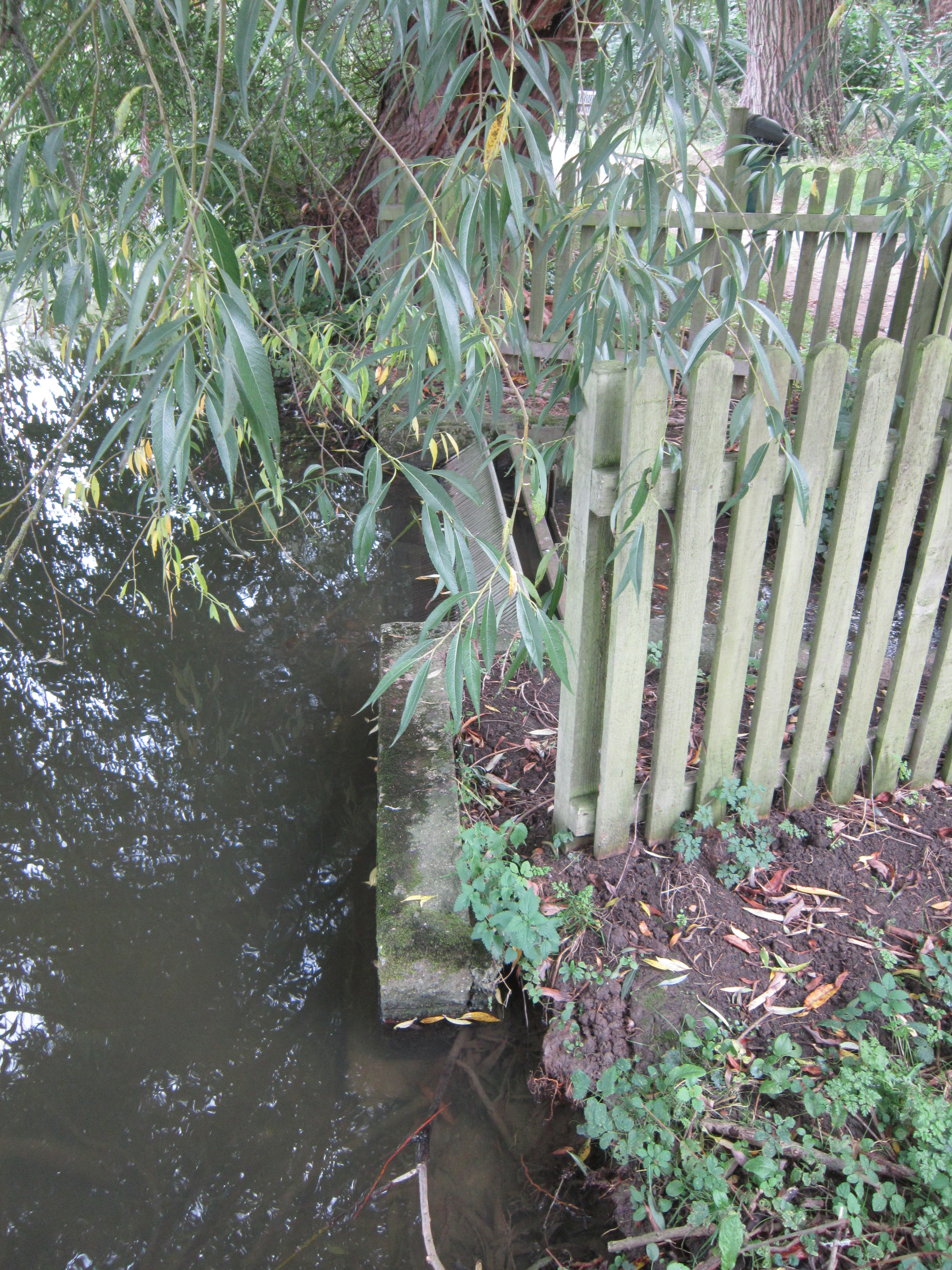
Radley College Pond. Modern sluice replacing the 18th century version. © Andrew Sargent
The missing bridge
No map or photograph shows how the path from Cheesers crossed between College Pond and the stream called Kishon. The 1842 Tithe map indicates a small bridge but no structure. The line of the avenue in existence in the 21st century passes between College Oak and a second oak, but does not continue across the stream. The current footpath passes between College Oak and College Pond via a causeway, with the stream culverted. Photographs of the 1850s and 1880s show the path in the same place. However, the avenue of Cheesers was the main access road for the Park from the 1720s until at least the 1790s. As a carriage road there must have been constant and reliable access between the pond and the stream. Did Capability Brown build a wooden bridge as a feature of his landscape, or, as a master of engineering, did he create the causeway which we still use?
>more>>>Reconstructing Capability Brown’s work at Radley Hall: North & South views
>>>more>>>Loss & Rediscovery: Capability Brown’s landscape at Radley
The causewayed path. Photo Henry Taunt, c.1880. C.Radley College Archives
Clare Sargent
